
Search Montville Streets by Address
A street-by-street search works best as an ordered record trail. Begin with the property address, not a surname. The County Tax Board can connect that address to a tax parcel and current listed owner. The Morris GIS Parcel Searcher then helps place that parcel among the other lots on the block. From there, the deed index provides the recorded transfer trail, while voter records can only confirm a known registration through the state checker or an authorized request. Historical reverse directories are a later household clue, not a substitute for a current official record.
- Address: search the Morris County Tax Board by tax year, district, street, and house number when available.
- Owner: save the displayed owner, block, lot, qualifier, and property or situs address before looking elsewhere.
- Deed: search the owner as grantee in the County Clerk index and compare the legal description with the parcel.
- Voter: use New Jersey’s registration checker only to confirm a known voter, never as a browseable street roster.
- Criss-cross: consult the dated street and telephone directories for a past address-to-occupant lead, then verify it with a record from the same period.
That order, address to owner to deed to voter to criss-cross directory, keeps the address trail tied to what each source can actually establish. A listed tax owner may receive mail elsewhere. A voter registration does not prove every person in a household lived there. Date each result before drawing a conclusion.
Montville Street Tax Fields
The Morris County Board of Taxation Tax Records Search is the first official address tool for this Montville address search. Its Property Location mode requires a tax year, a district, and a street name; a house number is optional. If the street form does not find the parcel, the same system also supports owner, block/lot, and prior block/lot routes. The prior identifiers matter when a tract was divided or a parcel was reconfigured. Treat the search as an as-is research tool, not a survey or title opinion.
| Tax Board mode | Fields | Required or useful detail |
|---|---|---|
| Property Location | Tax year, district, house number, street name | Year, district, and street are required; house number is optional. |
| Owner | Tax year, district, owner | Use after an address result identifies a name. |
| Block/Lot | Tax year, district, block, lot, qualifier | Qualifier is optional and helps distinguish some parcels. |
| Prior Block/Lot | Tax year, district, prior block, prior lot, prior qualifier | Useful when a subdivision or parcel change obscures the current identifier. |
| SR1A | Property, owner, or block/lot with sales and value filters | Available fields include deed dates, sale price, year built, square feet, and values. |
The SR1A sales and assessment search shows why an address alone is not enough. Sale and assessment clues can help separate similarly named parcels, but they do not identify every household member or settle a boundary question.
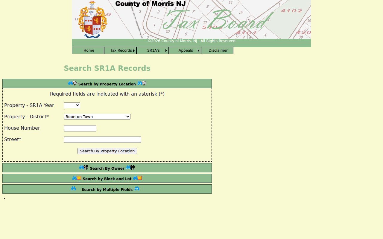
Use a tax year and parcel identifiers from the result when moving to the map or deed index, so the next search is reproducible.
Map a Montville Street
The Morris GIS Parcel Searcher offers quick search by municipality, owner, street address, or parcel ID. Search one known Montville address, choose the map view, then zoom along the street and select parcels one at a time. The app also exposes advanced search controls, filters, GPS, and a buffer-in-feet tool. Record the parcel ID, map date, and any layer that affects interpretation, such as a road, railroad, zoning, flood, or district layer.
GIS is for locating and inventorying. Morris County warns that the data are dynamic, may contain positional or data errors, and are not a survey or legal description. Parcel geometry is not the MOD-IV owner database. A polygon should therefore send the search back to the Tax Board or Clerk, rather than be presented as the owner record itself.
The Parcel Searcher map shows the available quick-search and buffer controls.
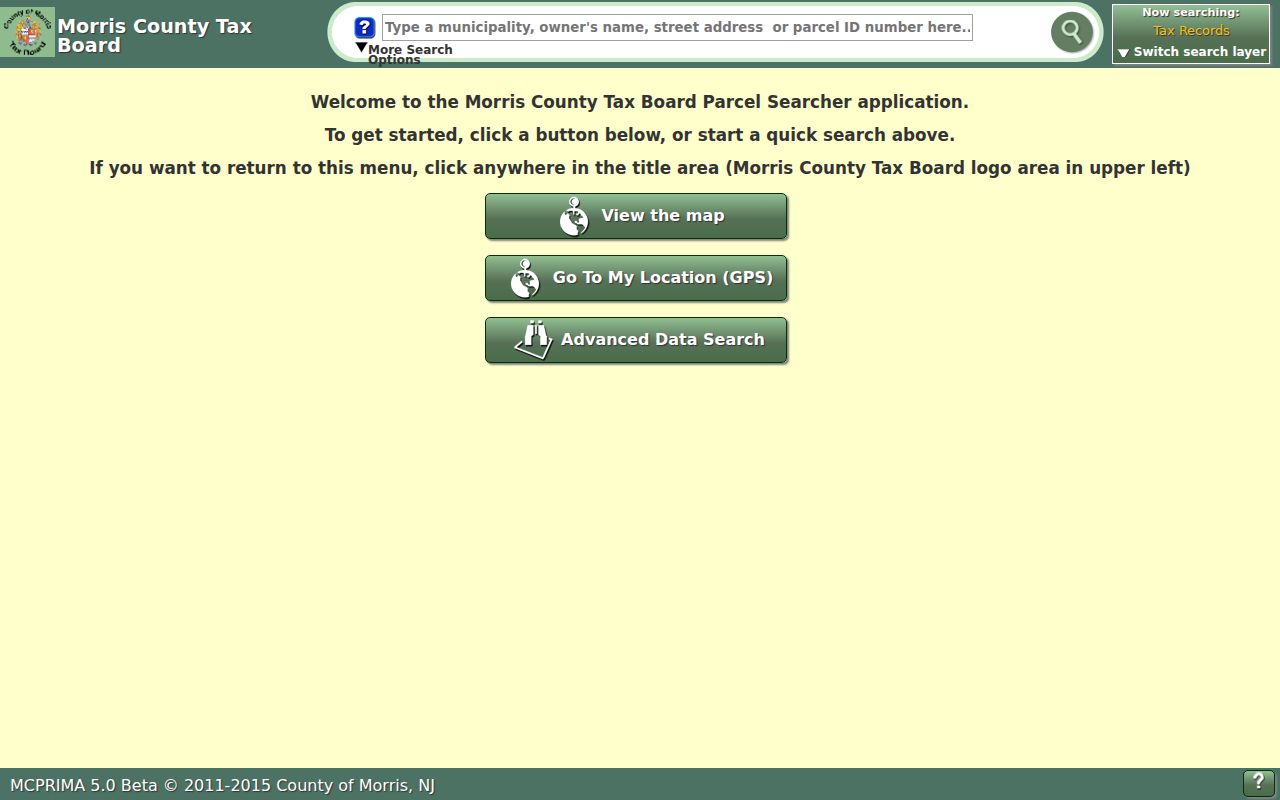
For a longer street, keep a not-found log with spelling tested, tax year, district, house-number range, parcel ID, and map date.
Montville Street Address Forms
Four address forms can appear in a Montville address trail, and they are not interchangeable. A postal address routes mail. A situs address identifies the physical property for tax and permit work. An owner mailing address tells the Tax Board where notices go, which may be a different place. The legal description, usually supported by a district, block, lot, qualifier, deed language, or map reference, identifies the real property in recorded documents.
- Parcel
- A tax-mapping unit used to connect a property with its district, block, lot, and sometimes a qualifier.
- Situs address
- The physical property address used to locate the land, distinct from an owner’s tax mailing address.
- Plat
- A recorded map or plan that can show how land was laid out or subdivided; it is useful when older and newer parcels differ.
- Criss-cross directory
- A reverse address directory that starts with a street and number, then identifies a listed occupant for that edition.
Montville also has historical and postal naming differences. A record may use Towaco, Pine Brook, Lake Valhalla, or an older Towaco name such as Hook Mountain, Glenview, or White Hall. Test the historic place name beside Montville when a directory, map, or deed search comes up empty.
Montville Street Record Coverage
No one record set answers every address question. The strongest Montville address result compares several systems while keeping their limits visible. The parcel key joins the tax roll, map, deed, and permit trail. The street name helps a historical directory search, but it is less reliable after a change in numbering, postal label, or parcel configuration.
| Address record | Custodian | Useful evidence | Access route |
|---|---|---|---|
| Tax parcel card | County Tax Board or municipal assessor | Owner, situs and mailing address, block/lot, class, assessment, and sale clues | Web search by location, owner, or parcel identifiers |
| GIS parcel | Morris GIS | Parcel geometry, nearby lots, roads, and planning layers | Free dynamic map; not a survey or owner database |
| Recorded deed index | Morris County Clerk | Grantor, grantee, instrument, book/page, legal description, date, and consideration | Online index from 1960; older and certain copies through Records Vault |
| Permit or code file | Montville Construction, Zoning, and SDL | Applicant or owner, work, complaint, violation, license, or certificate | Account/provider workflow or a focused OPRA request |
| Voter record | State and county elections offices | Known registration status under statutory limits | State checker or authorized file request, not a street browse |
| Historical directory | North Jersey History and Genealogy Center or Morris County Library | Address-to-occupant, occupation, spouse or widow notation | Books or microfilm by exact edition and year |
When an identifier changes, preserve both the current and prior block/lot, the instrument type, and the year. That small record of method is often more useful than a long unverified list of names.
Montville Street Deed Chain
The Morris County Clerk Online Property Records Search indexes recorded documents from 1960 forward. For a parcel found on the Tax Board, search the listed owner as a grantee, review the likely acquisition, and compare its legal description, lot/block, instrument type, recording date, and consideration. Then search the seller, or grantor, as a grantee in an earlier period. Repeat only when the parcel details continue to match.
The Clerk portal has Party Name, Document Type, Instrument Number, Book/Page, Town, Lot/Block, and date modes. Party Name accepts last name first name without a comma, and partial or full text is allowed. Book/Page uses a book-type selector and numeric book and page fields. Town and lot/block can be combined with party, document type, and a date range. Results can be sorted, filtered, paged, and printed, but restricted or unavailable images are not proof that an instrument never existed.
The County Clerk property index provides the starting search surface for that deed trail.
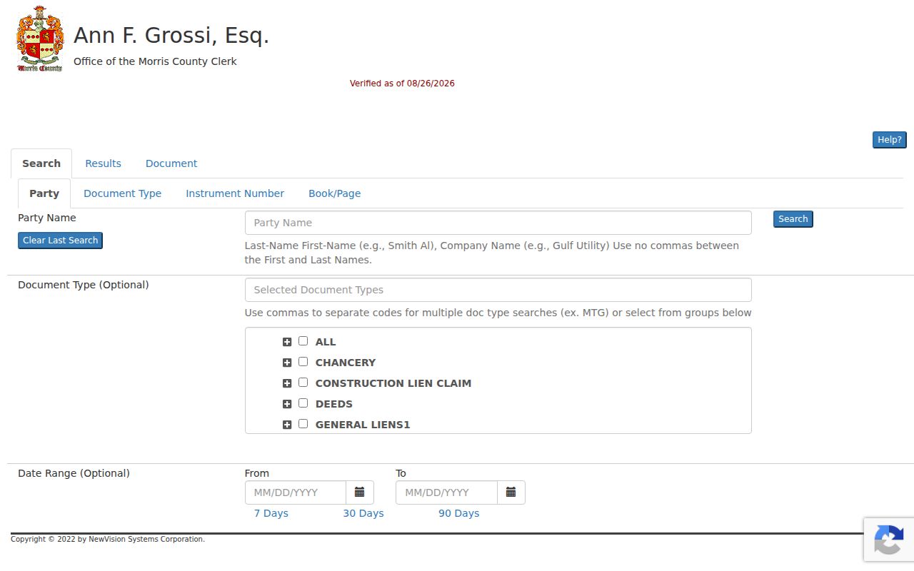
Record the instrument number and book/page before moving backward, especially where an owner has held several parcels.
The Clerk portal help documents the search, results, print, and image controls.
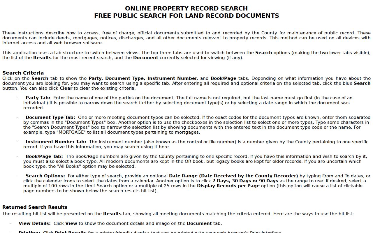
For older books, certified copies, and non-watermarked copies, use the Morris County Clerk Records Vault at 10 Court Street in Morristown, 973-285-6747, rather than assuming the web index covers the earlier document.
Montville Street Permit Trail
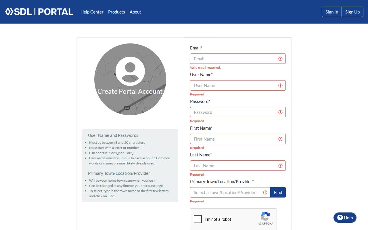
Permit and code records can add a date or a named applicant to an address history. Montville Construction says its SDL system can supply basic tax-lot and owner information along with current permits, complaints, violations, licenses, and certificates. The SDL signup page requires an account and a town, location, or provider selection before the fuller workflow is available. Historic closed-case fields and retention were not exposed during research, so they should not be assumed from the sign-up screen.
The municipal platform is a useful trail, not a public resident list. Where the account path does not expose the needed record, ask the Township Clerk for a specific record type by address, block/lot, department, and date range under the New Jersey Open Public Records Act, N.J.S.A. 47:1A-1 et seq. The Township Clerk is at 195 Changebridge Road, Montville, and the main number is 973-331-3300.
The Montville SDL account workflow is the access gate for these municipal construction records.
A focused request is more likely to be processed than a request for every item connected with an address.
Montville Street Construction Records
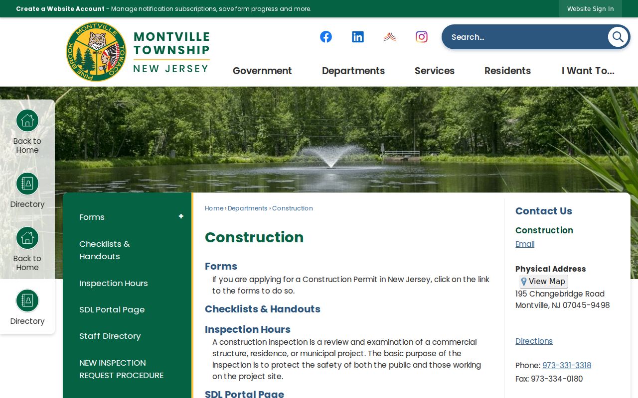
Construction and zoning materials are address-keyed evidence of work, not proof of occupancy. The Township’s Construction Department describes permits, inspections, and the SDL workflow. Zoning and property-maintenance materials can concern additions, accessory structures, pools, signs, walls, fences, tree removal, and other property matters. The record may name an owner, applicant, or contractor, but each role should be read exactly as shown.
Inspection scheduling requests are required in writing under the township’s cited construction rules. Construction contact is 973-331-3318. If the desired historical record is unavailable through SDL, an OPRA request should identify the property and date range. Do not infer a complete historic permit file from a current online view.
The Montville Construction Department page describes the department’s permit and inspection path.
Pair a construction record with the parcel and deed information before using it as part of an address history.
Montville Street Voter Checks
New Jersey’s Voter Registration Check confirms the status of a known voter. It is not a road-by-road roster and does not allow a reader to browse a road or download a neighborhood list. The full voter file is governed by N.J.S.A. 19:31-18, which limits use and protects certain addresses. Registration can support a carefully limited confirmation, but it cannot establish every adult or child at a parcel.
An authorized request belongs with the Morris County Board of Elections, 10 Court Street, second floor, Morristown, 973-285-6715. The research did not expose a current request form or delivery-format menu, so ask the Board for the current form and fee quote instead of assuming a file format. Printed election-district lists and electronic lists have statutory terms and are not a free consumer directory.
Note: Protected voters and other restricted records can make an address-based check incomplete even when the parcel and street spelling are correct.
Montville Street Directory History
For past households, reverse and telephone directories add the address-to-occupant layer that tax records cannot supply. The North Jersey History and Genealogy Center holds Morris County directory runs from 1873 to 1909, scattered street-address material from 1977 through 2006, and telephone directories beginning with Morris County volumes from 1956 to 1958. Coverage varies by town and edition. A missing Montville line may mean the book used a neighboring postal place or did not cover that street.
Use the exact street number, nearby cross street, edition year, and any spouse or widow notation. The Morris County Library’s genealogy reference service and the North Jersey center can help identify the right microfilm or volume. The historical collections themselves are described on the Montville city directories page, where the dated publisher runs and entry conventions are the focus.
Old village names are a practical search aid. Towaco may appear as Hook Mountain, Glenview, or White Hall, while Pine Brook and Lake Valhalla can also surface in directory, map, church, or postal references. Test those terms beside the modern address before concluding the record is absent.
Montville Street Search Failures
A no-result needs diagnosis, not a guess. Montville has no verified township-wide street-renumbering history in the reviewed sources. Older records can instead use a rural route, village name, road and cross-road, parcel description, or a prior block/lot. Use the current GIS road layer and the township’s property or zoning records for a disputed modern address, then keep the older legal description and historic owner name in the search notes.
Parcel changes are another common break. A subdivision map can explain why one older tract later became several addresses. Search a prior block/lot in the Tax Board system, then test the description and map reference in the Clerk index. A mailing address that differs from situs also does not mean the owner lives at the parcel.
Montville Street Directory Limits
An address-record search cannot produce a complete household list. Tax and deed sources track property interests. GIS helps identify land. Directory editions have gaps and may omit boarders or renters. Utility and delivery account lists are not general public sources, and DMV personal addresses are protected. The New Jersey Address Confidentiality Program and protected-voter rules can also limit visible address data.
Lawful use. Use Montville address records for personal research, family history, property questions, or civic curiosity. Do not use records to stalk, harass, intimidate, or harm any person.
Montville Street Property Alerts
A useful Morris County insider tip is the Clerk’s free Property Alert service. It sends an email when a recorded document appears under a registered name. Registration can use municipality, block/lot, or party names, and variants should be entered separately. It is a way to notice a new instrument connected to a Montville parcel, not insurance and not a way to prevent recording.
That distinction matters for an address search. An alert can prompt a fresh review of the deed index, but the instrument type and legal description still determine whether it reflects a transfer, mortgage, discharge, lien, map, or another recorded event.