
Montville Neighbors by Parcel
Public records describe parts of a Montville block in different ways. Morris GIS is the visual starting point for Montville parcels. The Tax Board identifies the fields associated with a tax parcel. The County Clerk supplies the transfer chain for a selected Montville parcel. A voter checker can confirm a known person’s registration status, subject to its rules, while Montville civic organizations provide public contacts and activities rather than a household roster. Start with the source that matches the question, and distinguish a listed owner from an occupant.
| Source | What It Shows About a Block | Access |
|---|---|---|
| Morris GIS Parcel Searcher for Montville | Parcel geometry, adjacent polygons, roads, and planning layers | Free dynamic map; not a survey or owner database |
| Morris County Tax Board for Montville | Listed owner, situs, mailing clue, block, lot, and tax fields | Public property, owner, and block/lot modes |
| Morris County Clerk search for Montville | Recorded transfers, legal descriptions, and document references | Online index from 1960; Records Vault for earlier material |
| Voter source for Montville | Status for a known voter or an authorized statutory request | Checker and request rules, with protected addresses |
| Montville organizations | Public contacts, events, and civic context | Official organization listing; no member rosters located |
A Montville parcel owner may receive tax mail at another address, may own more than one property, or may be an entity. Renters, children, unregistered adults, and other household members are not supplied by a Montville parcel result. Treat a map and a tax record as the beginning of a documented Montville neighbors search, not as a declaration of who occupies every home.
Map a Montville Neighbor Block
The Morris GIS Parcel Searcher supports quick searches by municipality, owner name, street address, or parcel ID. After a known Montville address is found, choose View the map and inspect the polygons that touch or surround the target. Montville roads, water, rail corridors, zoning, and other layers can explain why the nearest visible parcel is not necessarily a direct neighbor.
- Enter the known Montville address, then choose View the map and record the target Montville parcel identifier and the map date.
- Click or select each touching or surrounding polygon. Keep a separate list of every adjacent Montville parcel ID.
- Run those Montville identifiers through the Morris County Tax Board by block and lot, or use the owner and property-location modes where appropriate.
- Use each Montville name or parcel in the County Clerk index to verify the recorded transfer and legal description.
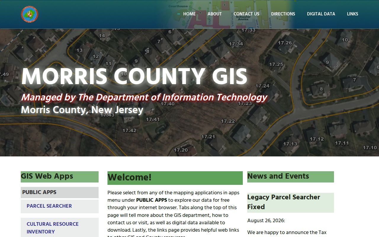
The county’s GIS landing page is the source shown below for Montville neighbors. It provides access to public applications and carries the county’s data-use cautions.
Save the source date with Montville parcel notes. The map is dynamic, and the selected layer or click label can change. For a whole named Montville street rather than the immediate block, use the separate Montville by-street directory workflow.
Montville Neighbors and GIS Limits
The Parcel Searcher includes a Buffer in Feet field with Submit and Clear Buffers controls. That tool can create a documented radius around a selected point in Montville, which is useful when a block crosses a bend, a large tract, or a road. It does not turn the Montville map into a legal boundary or a people list. Record the distance used for the Montville search and clear the buffer before beginning another search.
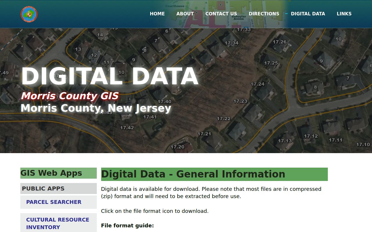
The Morris County GIS layer inventory is the source shown here. It describes available geographic layers and warns that the data is for locating, identifying, and inventorying, with possible positional or data errors.
Montville GIS parcel geometry is not directly linked to the MOD-IV owner database. Move from the selected Montville map parcel to the Tax Board record and Clerk index before writing down an owner or a transfer conclusion.
Montville Neighbor Voter Limits
The New Jersey voter checker is for confirming a known Montville voter’s registration status. It is not a public Montville browse-by-block surface. State matching guidance calls for attention to spelling, city, county, and date of birth. A Montville checker result also cannot establish that every person at an address is registered or still present there.
N.J.S.A. 19:31-18 governs voter-registry information connected with Montville and limits use of the full file. A lawful request may involve election-district lists, fees, requester eligibility, and protected-address rules. The Morris County Board of Elections should supply the current request form and quote for Montville. Do not publish or recreate a Montville block roster from checker results, and do not seek digitized signatures, unique identifiers, full birth dates, or protected addresses.
Note: Voting history concerns participation, not ballot selections, and an inactive status requires careful date context.
Montville Neighborhood Contacts
Montville’s official organizations inventory adds community context to a Montville parcel search. Towaco Civic Association and Valhalla Civic Association are useful public contact leads for their Montville areas. The Montville Historical Society, Chamber, Pine Brook Jewish Center, Fire and First Aid organizations, and VFW Post 5481 may publish a local event, officer, program, or historical item. The official Montville material reviewed did not supply public member rosters, so each group should be treated as a public-contact and activity source only.
| Organization | Public role for a block inquiry |
|---|---|
| Towaco Civic Association | Towaco civic issues and public contact lead |
| Valhalla Civic Association | Lake Valhalla and community civic contact lead |
| Montville Historical Society | Local history, public programs, and record context |
| Chamber and Pine Brook Jewish Center | Public institution or activity contact, not household evidence |
| Fire, First Aid, and VFW Post 5481 | Public service or community identity, without personnel or membership roster |
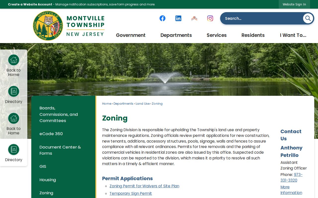
The Montville Zoning page is the source illustrated below. Zoning permits, waivers, and address-linked municipal records can add property context, but they do not establish that a named applicant currently lives nearby.
For a Montville event or officer, retain the group’s own public notice and date. Do not infer membership, attendance, or a home address from the organization’s presence in Montville.
Montville Block Sources Compared
Official and commercial record categories serve different purposes for Montville. County and state sources identify their custodian, coverage, and limits. Commercial neighbor-lookup categories often combine public filings, address-history feeds, marketing information, and other data into a report. A combined report about Montville can be stale, can merge people with the same name, and does not replace the Montville source record held by the Tax Board, Clerk, court, or elections office.
| Source category | Best use | Important limit |
|---|---|---|
| Official Montville parcel and tax records | Locate a parcel and identify the listed owner fields | Not proof of each household member or current occupancy |
| Official deed and court indexes for Montville | Confirm a recorded transaction or court metadata | Indexes can be incomplete, redacted, or restricted |
| Commercial reports about Montville | Generate a question to verify with a custodian | Accuracy, source date, matching, and deletion limits vary |
Where Montville sources disagree, preserve both entries and ask the custodian about the record it maintains. A Montville tax result may be newer than a deed index entry, while a map may have a different update cycle from either one.
Montville Neighbor Privacy
A Montville neighbors search has clear boundaries. Montville parcel data may identify an owner, but it does not provide renters or all household members. Utility, delivery, account, and private motor-vehicle address data are not general public sources. Protected Montville voter records, sealed court matters, and restricted vital records cannot be filled in from a map. The New Jersey Address Confidentiality Program can provide a substitute address for eligible participants, although it cannot erase a Montville address already found in an older public record.
Under New Jersey OPRA, N.J.S.A. 47:1A-1 et seq., a Montville request is best used for a precise municipal record, such as a Montville permit or zoning record tied to an address, block, lot, and date range. It does not open a broad Montville neighborhood dossier. Correct a wrong tax, court, or voter entry with the original office, and avoid copying protected details into a personal notes file.
Lawful use. Use Montville neighbors records for personal, lawful neighborhood, family-history, or civic research. Never use an address, parcel, or public record to watch, stalk, harass, intimidate, or harm anyone.
Montville Neighbors Through Time
Historical Montville directories, newspaper notices, and obituary research can add an older layer to a block. The Morris County library and North Jersey History and Genealogy Center hold directory, telephone, address-book, and microfilm resources, but coverage of Montville within each run varies. Search with the Montville address, road, cross street, older postal place, and date. A historical directory entry is secondary evidence, so confirm it against a deed, tax record, census, or obituary when identity matters.
Use the Montville sources in sequence. A dated Montville directory address can lead to the parcel, while a deed can identify the legal description that persists even if a house number changed. The County Clerk online index covers Montville recorded-property searching from 1960, and the Records Vault is the fallback for older books or certified and non-watermarked copies. If a subdivision changed a Montville parcel, preserve both the current and prior block-and-lot identifiers. Local history staff can help identify an appropriate directory or microfilm run, but a gap in a volume may reflect its coverage, not an empty block.
Montville’s older place names can also affect results. Towaco has appeared as Hook Mountain, Glenview, and White Hall, while Pine Brook once used Union Village. A name change, rural description, or neighboring postal place can explain an apparent gap without proving that a household did not exist.